OGMP 2.0 Level 4 and Level 5 Reporting Explained
OGMP 2.0 Level 4 requires source-level measurement. Level 5 adds site-level reconciliation. What each level demands of your emissions data, and why.
Regulatory updates, emissions data, and methane science.
OGMP 2.0 Level 4 requires source-level measurement. Level 5 adds site-level reconciliation. What each level demands of your emissions data, and why.
Standing, working, and flashing losses are the standard tank emissions calculation. What the formulas cover, where they stop, and what failure adds.
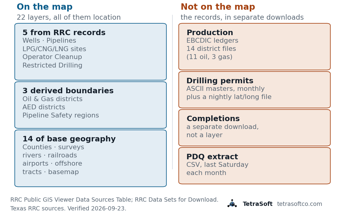
The Texas Railroad Commission GIS viewer in plain terms: all 22 map layers, how to download RRC GIS data, and why production and permits are not on the map.
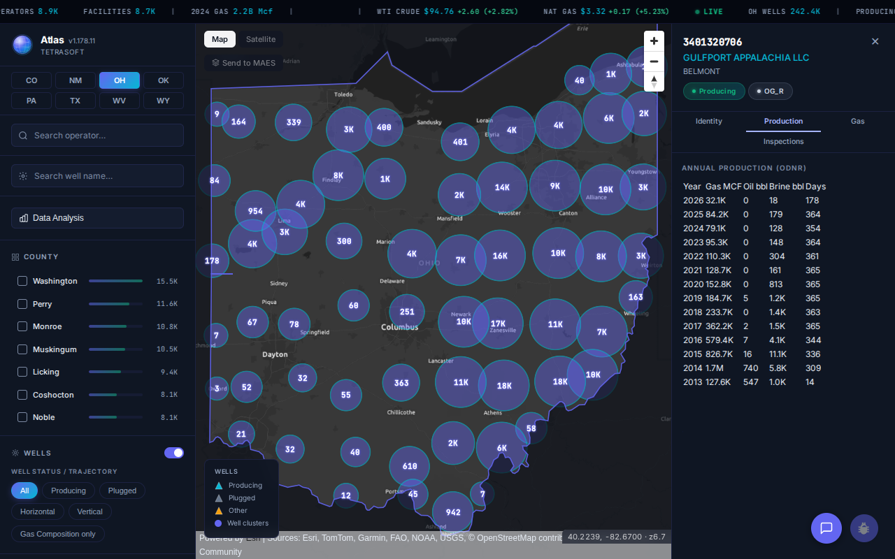
How to use Ohio's free ODNR well viewer: find any of 242,295 oil and gas wells by address or radius, including orphan wells the Well Database omits.
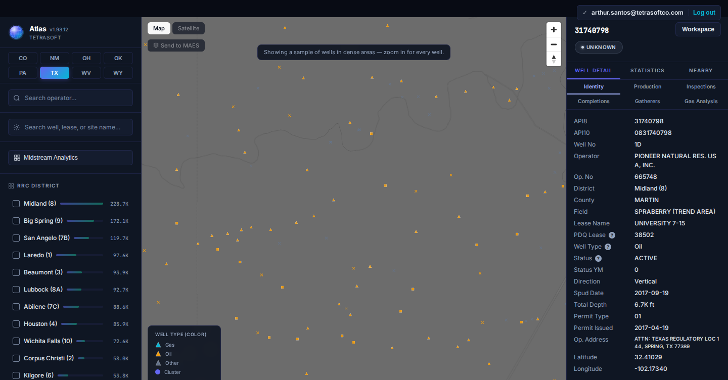
Texas well records carry 55,791 field names, Colorado 1,556 and Wyoming 1,174. What a field name means, where outlines exist, and how to map its wells.
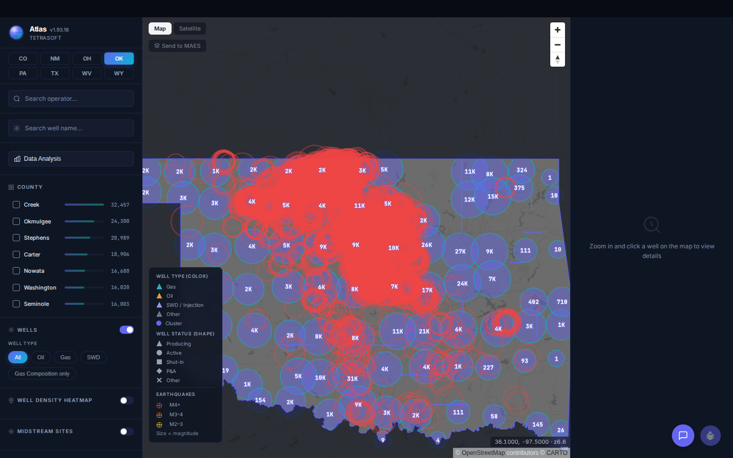
Oklahoma recorded 45 magnitude 3.0+ earthquakes from 1980 to 2008, then 901 in 2015 alone. See where the 27,747 events cluster and what USGS links them to.
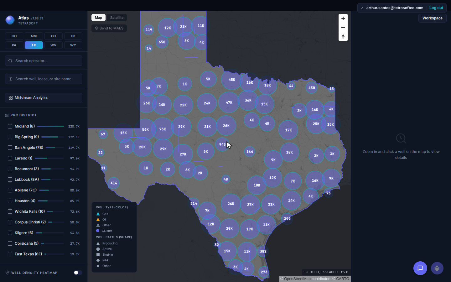
How to search the Texas RRC Wellbore Query by API, operator or lease, which field is fastest, why a search comes back empty, and where production lives.
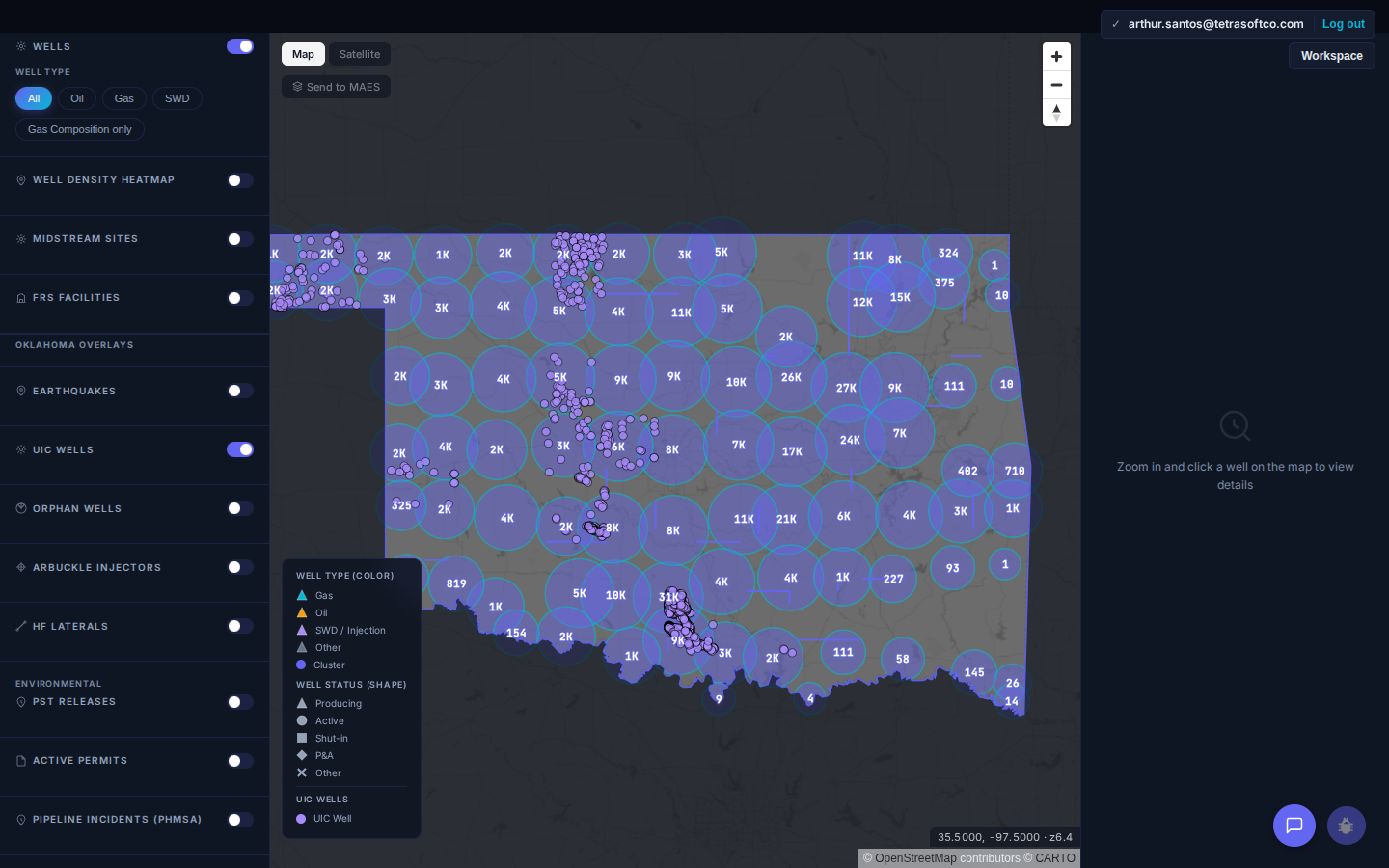
About 180,000 Class II oil and gas injection wells operate in the US, most for enhanced recovery, not disposal. The six UIC classes and where records live.
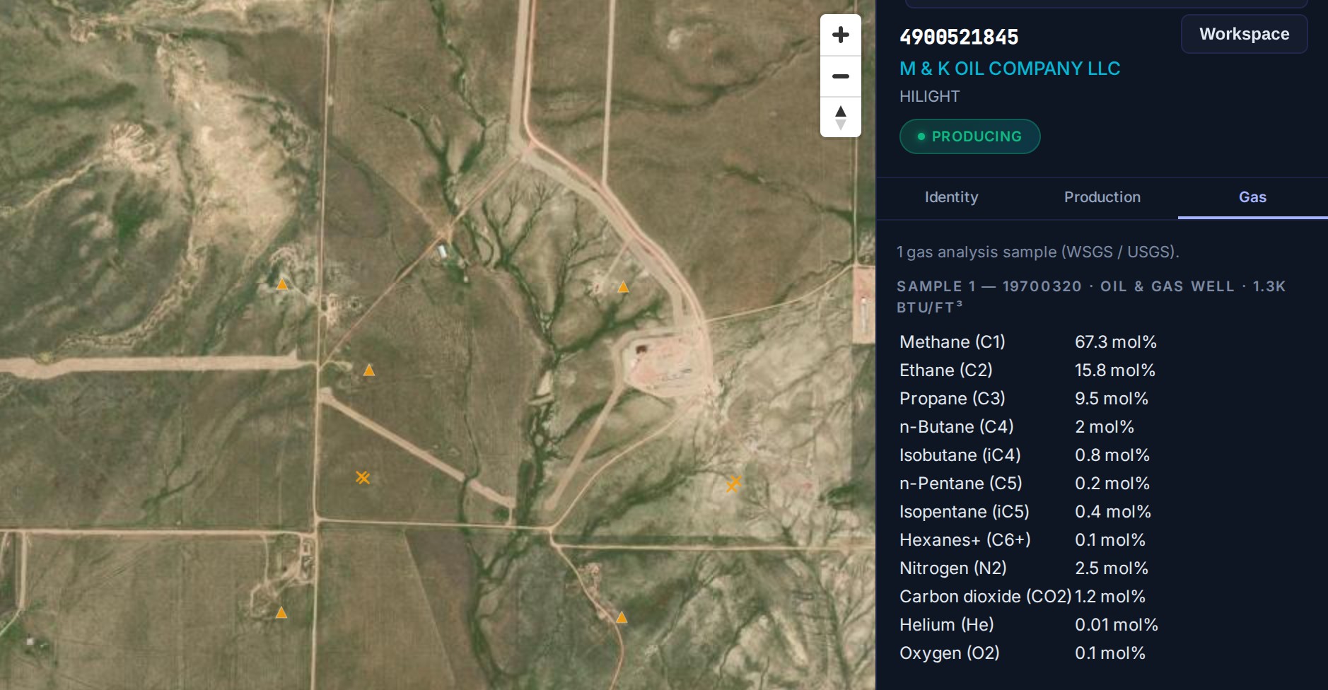
Search about 68,700 Wyoming wells by name, operator or county, and open each with its WOGCC production, status and gas analysis on one map. Free trial.
The WVDEP Office of Oil and Gas runs six separate search tools. Here is which one answers which question about a West Virginia well, and what none of them show.
EPA revised OOOOb/OOOOc temporary flaring and NHV monitoring, effective June 8, 2026. Most flares and combustion devices are now exempt from NHV monitoring.
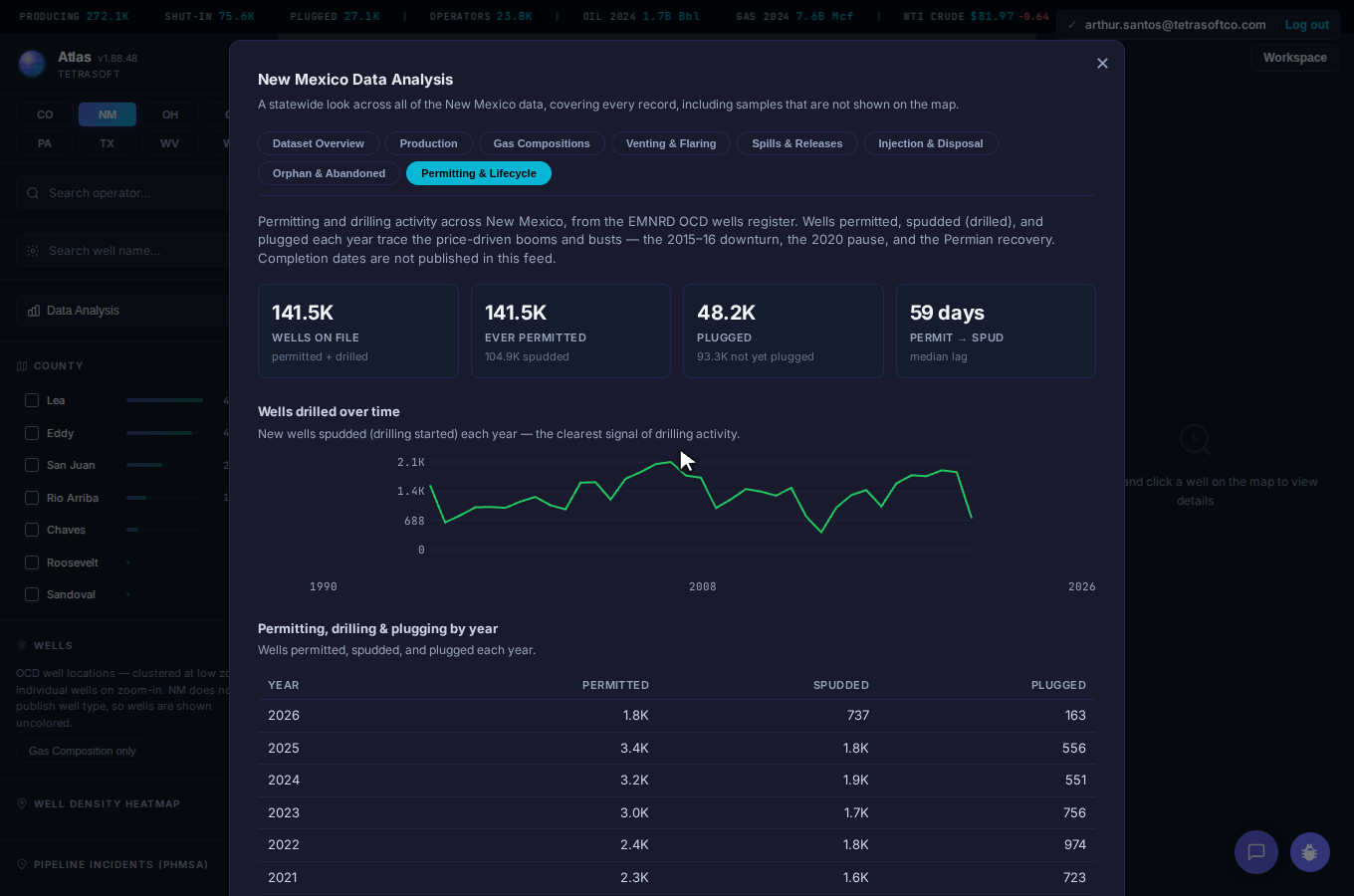
How NMOCD drilling permits work: the Form C-101 review, APD expiry dates, and why New Mexico approves over 3,000 permits a year but spuds far fewer wells.
No posts match your search.